Interactive Map Reveals Ocean Pathways Vital For 109 Species
Have you ever wondered how sea turtles find their way across thousands of miles of open ocean? Scientists have created an amazing interactive map showing the underwater highways that marine animals use to travel.
This groundbreaking tool tracks the movements of whales, sharks, seabirds, and many other ocean creatures. Understanding these pathways helps us protect animals that cross international borders during their journeys.
1. Mapping The Ocean’s Invisible Highways For Marine Species
The ocean isn’t just a vast blue expanse—it’s crisscrossed with invisible highways used by marine animals.
Scientists have mapped these crucial pathways using tracking devices attached to fins, shells, and wings. The resulting interactive visualization reveals surprising patterns, showing how animals navigate using ocean currents, magnetic fields, and temperature changes during their epic journeys.
2. How The MiCO Database Sheds Light On Migratory Routes
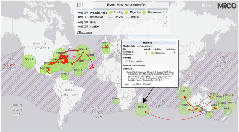
Behind this revolutionary map lies the Migratory Connectivity in the Ocean (MiCO) database—a treasure trove of animal tracking information.
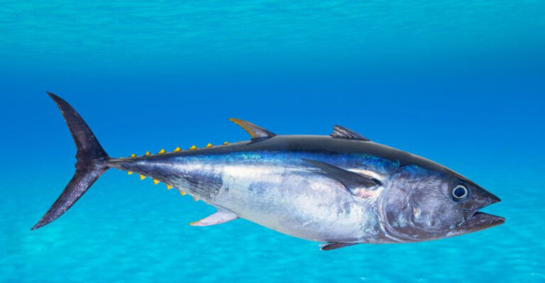
Researchers collected data from satellite tags, acoustic monitors, and even DNA samples to piece together these complex journeys. The project transforms raw coordinates into stunning visual stories, allowing anyone to explore how bluefin tuna zigzag across oceans or how albatrosses circle the entire Southern Hemisphere.
3. Over 1,300 Studies Illuminate The World’s Ocean Pathways
Knowledge is power when it comes to protecting marine travelers. Scientists compiled findings from more than 1,300 research studies to create this comprehensive map.
Each colored line represents real journeys made by individual animals, from massive blue whales to tiny sea turtles. By bringing together decades of research from different countries and institutions, the map reveals connections that no single study could show on its own.
4. Why These Ocean Pathways Are Crucial For 109 Species’ Survival
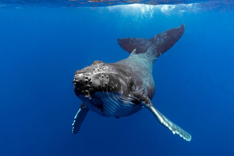
For many marine creatures, migration isn’t optional—it’s essential for survival. The map tracks 109 species that depend on these underwater highways to reach feeding grounds, breeding areas, and nurseries.
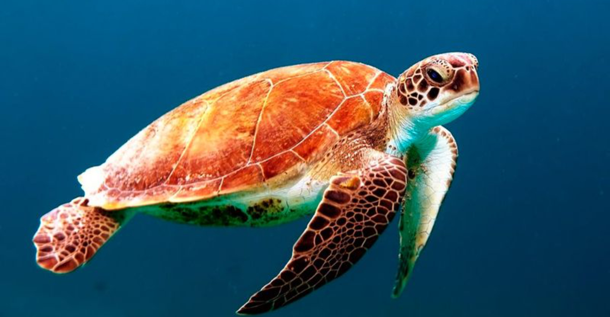
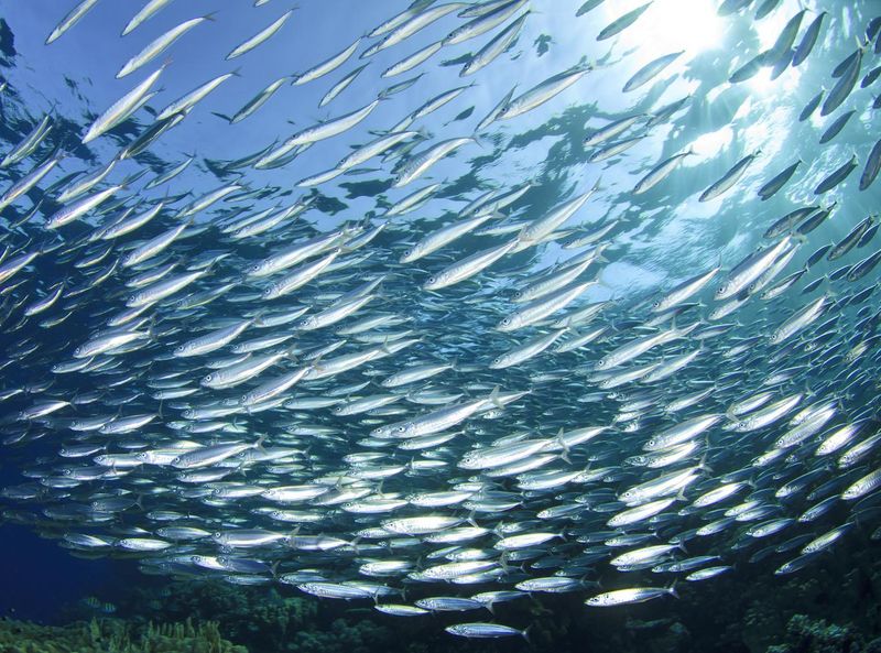
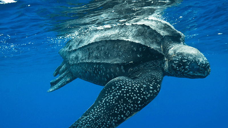
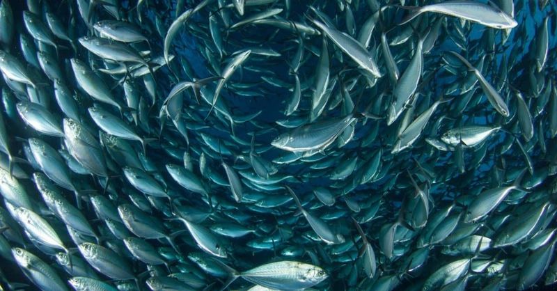
Leatherback turtles swim thousands of miles between tropical beaches and jellyfish-rich waters. Whale sharks follow plankton blooms across oceans. Without these pathways, entire populations could collapse, disrupting food webs and ecosystems worldwide.
5. Uncovering The Complex Web Of Marine Animal Migrations
The ocean’s migration network resembles a bustling highway system with unexpected connections. When viewed together on the map, seemingly unrelated species often share critical pathways.
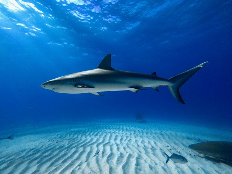
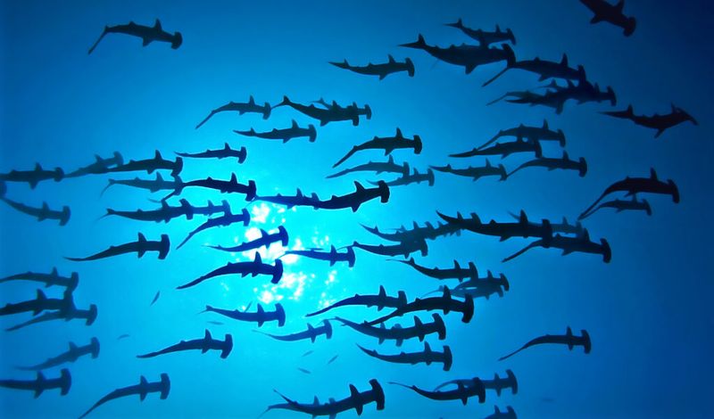
Sharks and seabirds converge on productive upwelling zones. Tuna and sea turtles follow the same warm currents. This web of overlapping routes reveals hotspots where conservation efforts could protect multiple species simultaneously, maximizing the impact of limited resources.
6. How Human Activities Threaten Vital Migratory Routes
Our busy oceans pose growing dangers to traveling marine animals. The interactive map highlights where migration routes intersect with shipping lanes, fishing grounds, and offshore energy developments.
Whales face ship strikes while following ancient pathways. Longline fishing hooks catch turtles mid-journey. By identifying these conflict zones, conservationists can advocate for seasonal restrictions or modified human activities to give animals safe passage during critical migration periods.
7. International Cooperation: A Key To Protecting Migratory Species
Marine animals don’t recognize political boundaries—they simply follow their instincts across international waters. The map clearly shows how single journeys often cross dozens of different countries’ territories.
A turtle hatched on a Mexican beach might feed in waters controlled by the United States, Cuba, and Belize. This reality makes international agreements essential. The visualization helps diplomats and policymakers see exactly why coordinated protection across borders matters for these globetrotting ocean travelers.
8. Green Turtles And The Dangers Of Disparate Protection Efforts
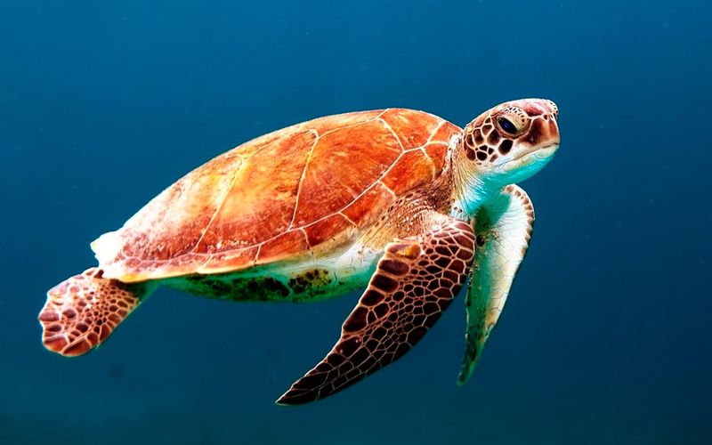
Green sea turtles perfectly illustrate why fragmented conservation approaches fall short. The map reveals their remarkable journeys from nesting beaches to feeding grounds hundreds of miles away.
A turtle might receive complete protection in one country’s waters only to face fishing nets in the next. By visualizing these vulnerable segments in their migration routes, conservationists can identify critical gaps in protection. This knowledge drives targeted advocacy for consistent safeguards throughout the animals’ entire life cycle.
9. Exploring The Global Impact Of Cross-Border Conservation Strategies
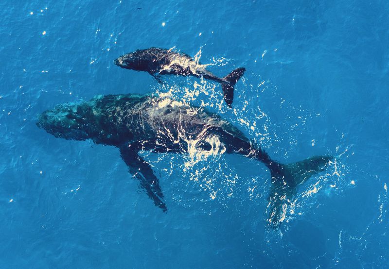
Success stories highlighted on the map prove that international cooperation works. Marine protected areas strategically placed along migration routes have helped some populations recover.
Humpback whale numbers have increased since nations coordinated to protect their breeding grounds and migratory corridors. The interactive tool allows users to explore these success stories alongside ongoing challenges. By making this complex data accessible to everyone, the map builds public support for protecting the ocean’s vital highways.